Item 01From $950
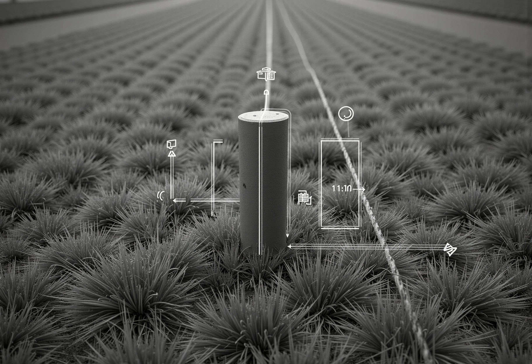
Boundary Survey
We retrace the deed, recover the original monuments and set what's missing. The fence argument ends with a pin in the ground and a sealed plat.
Licensed land surveying across Oklahoma and Cleveland counties. Corners set, plats sealed, elevation certificates back in days — with a field date and a delivery date given up front.
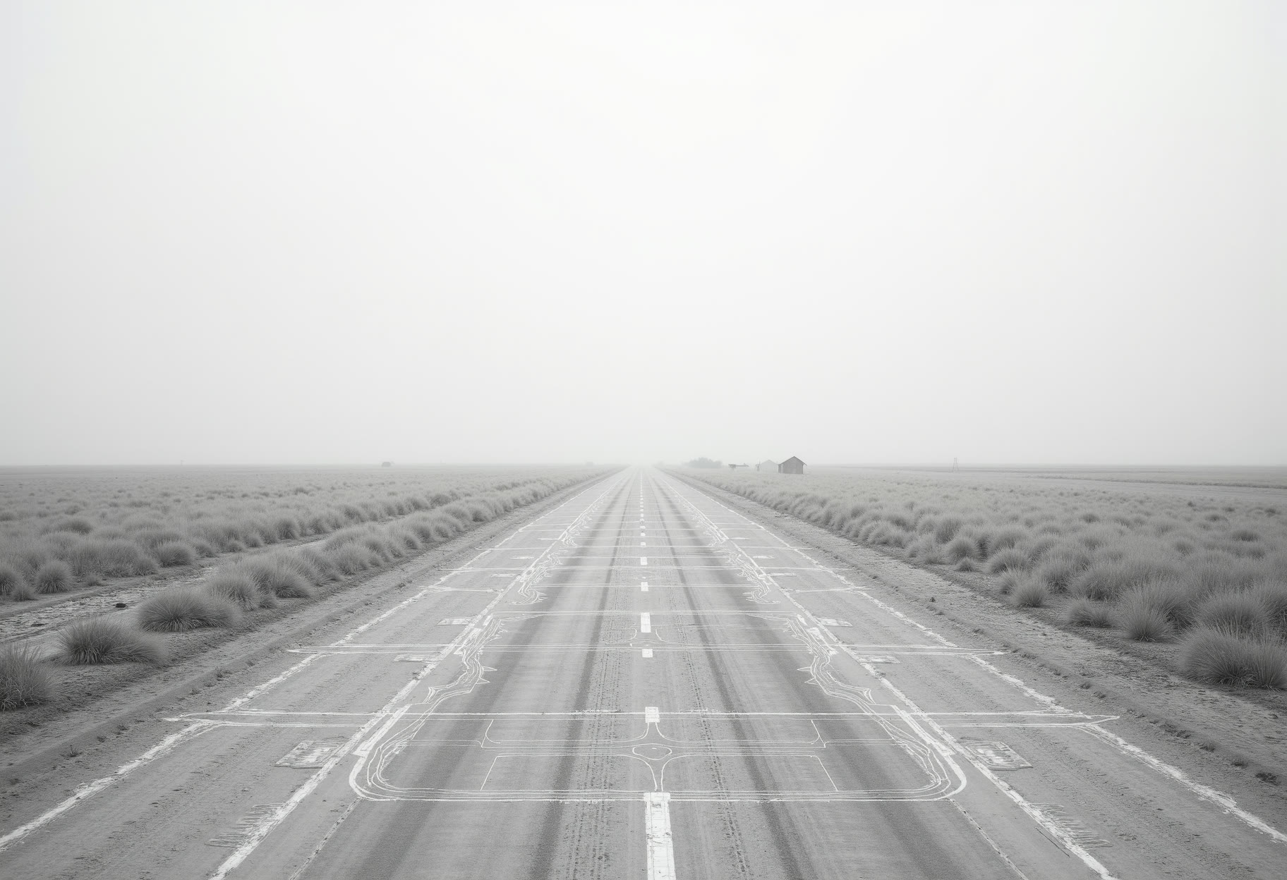
What we're drafting right now — a boundary retracement, a staking sheet, a topo of a raw parcel. We post one most weeks, straight off the plotter, so you can see what a finished drawing from us actually looks like.

Field crew out of Norman, drafting done in-house. What you get is a sealed drawing, not a sketch with a disclaimer on it.
We retrace the deed, recover the original monuments and set what's missing. The fence argument ends with a pin in the ground and a sealed plat.
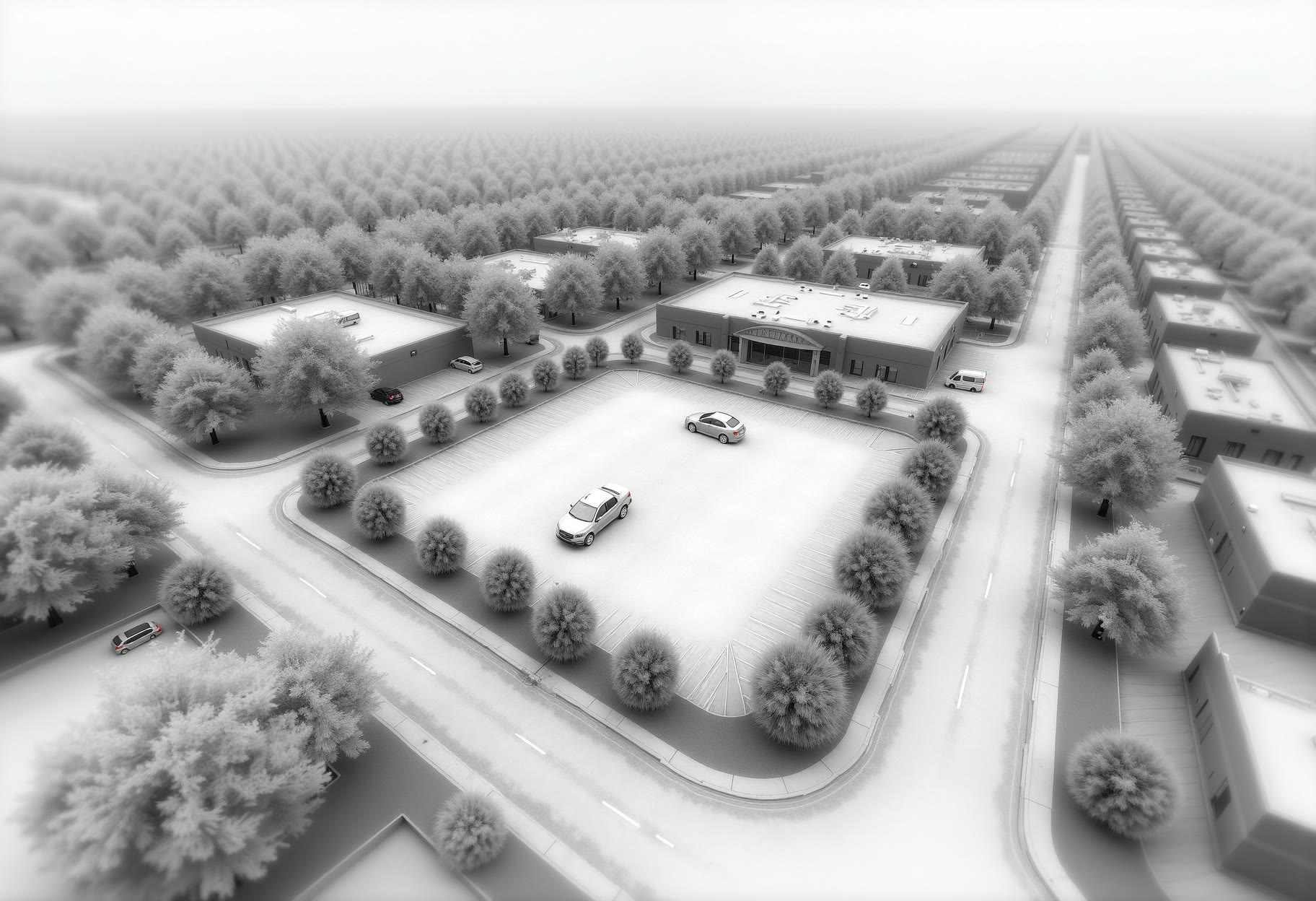
The commercial standard — improvements, easements, encroachments and Table A items, drawn to what the title commitment actually calls out.
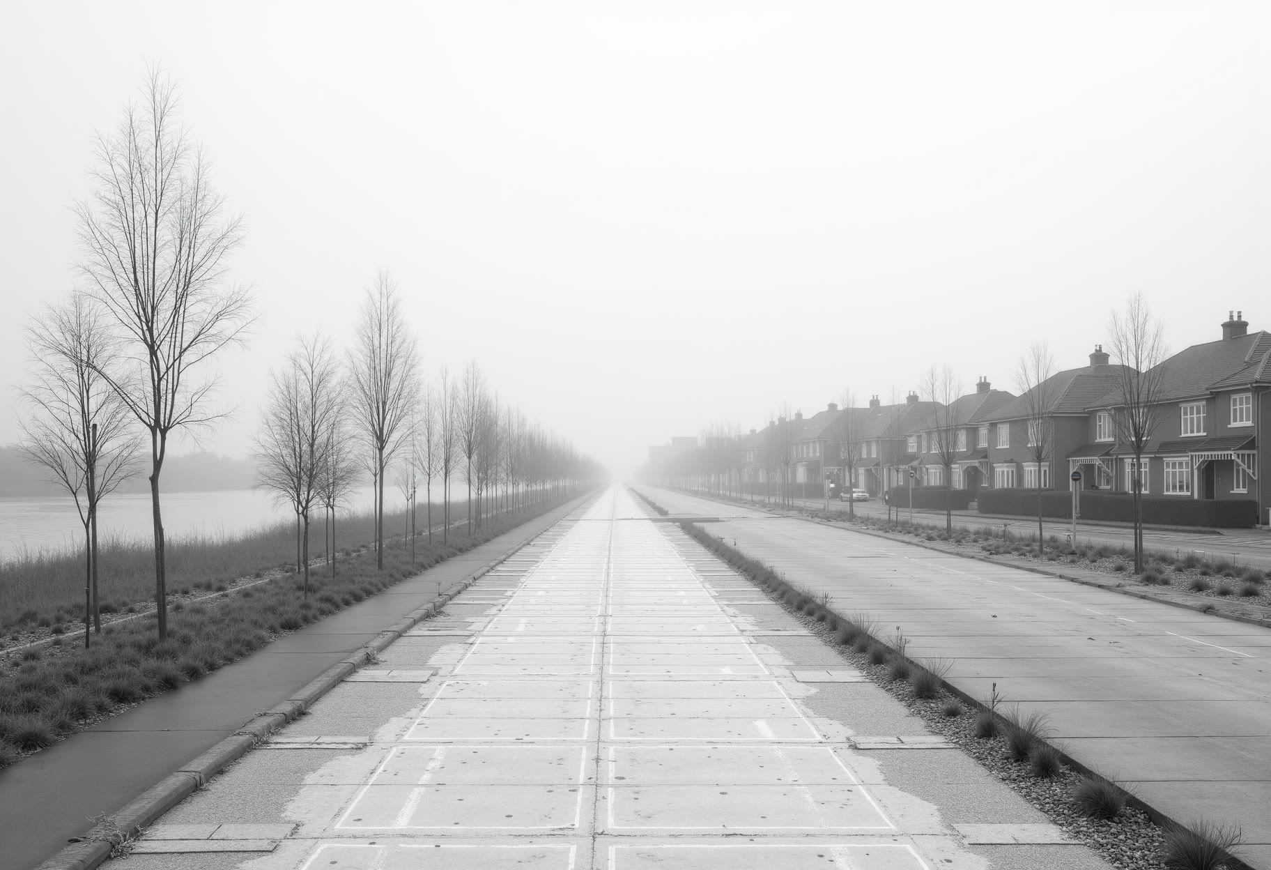
Shot, drafted and delivered on the current FEMA form. Most insurers and lenders have it in hand inside a week of the field visit.
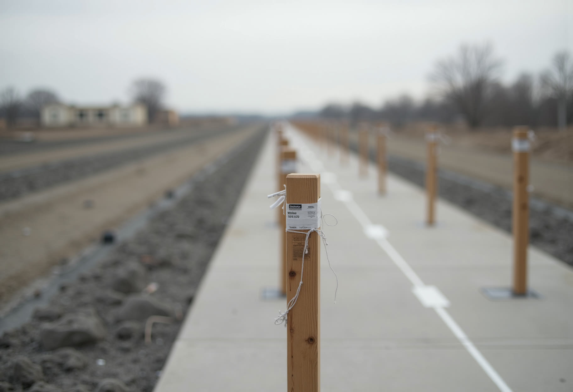
Building corners, offsets, curb, utilities and grade stakes off your engineered plans. Cut sheets handed to the superintendent the same day.
Spot elevations, contours, trees, utilities and drainage — the base map your architect or civil engineer designs on top of.
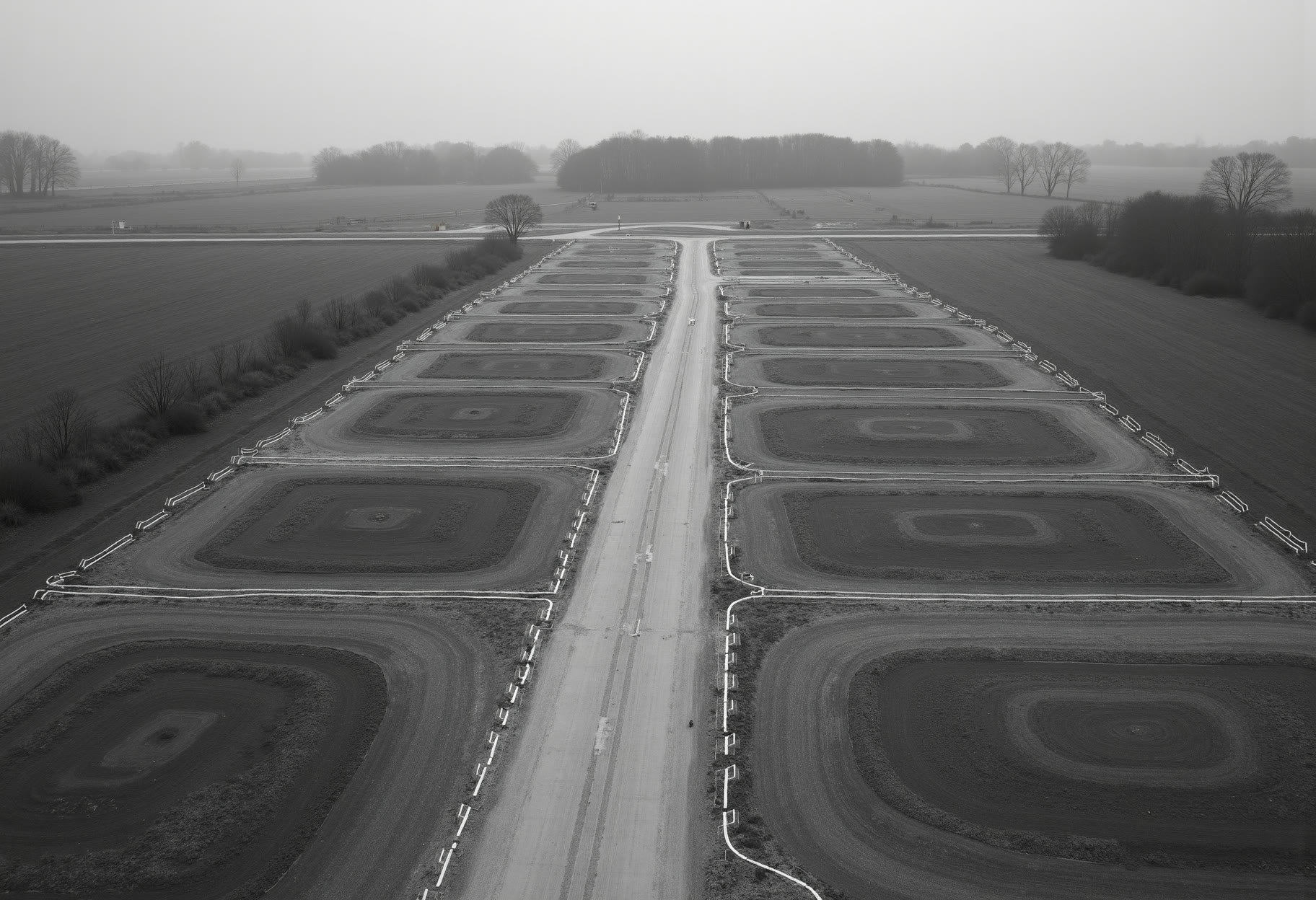
Splitting acreage, platting a new subdivision, or dedicating right-of-way. We draw it and we walk it through the county with you.
Flat light, ruled lines and a pin in the dirt. Tap any photo.
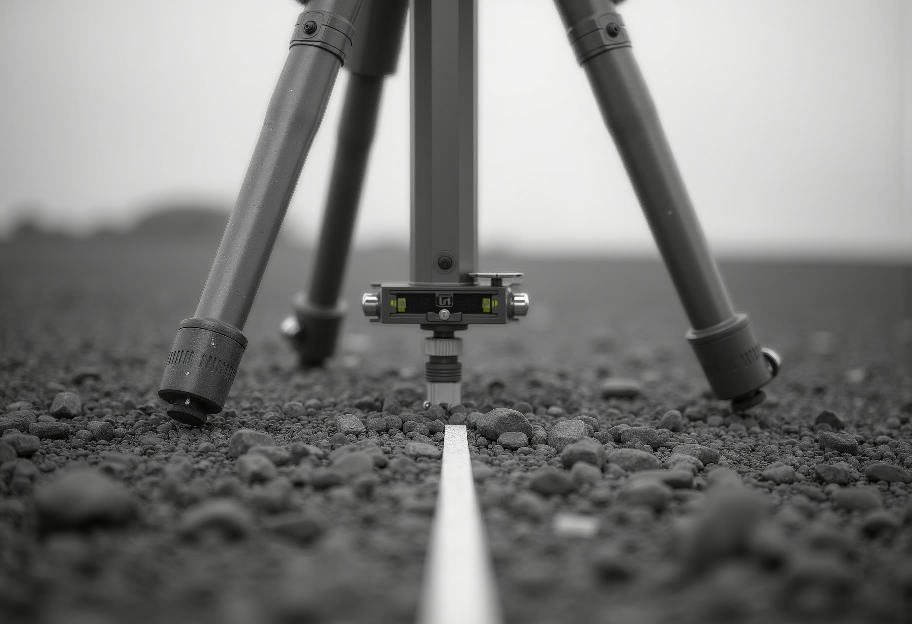
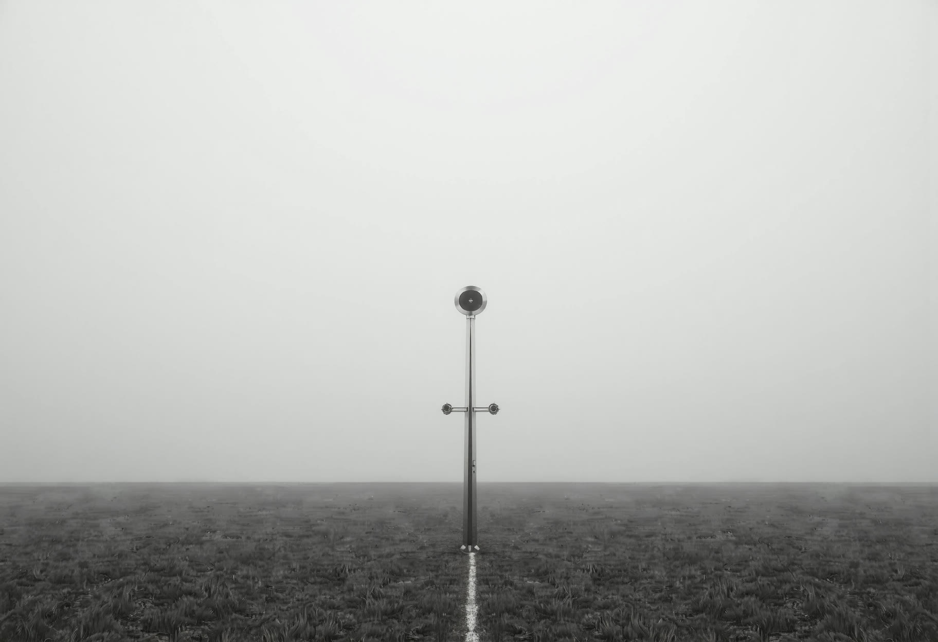

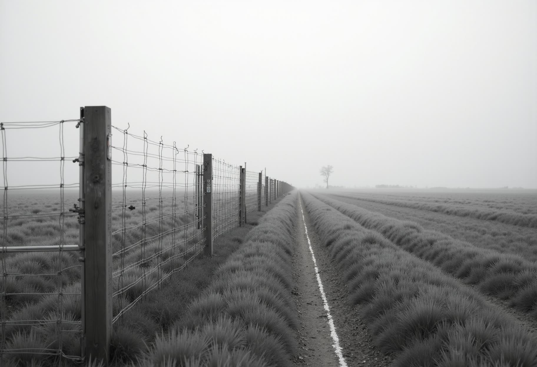
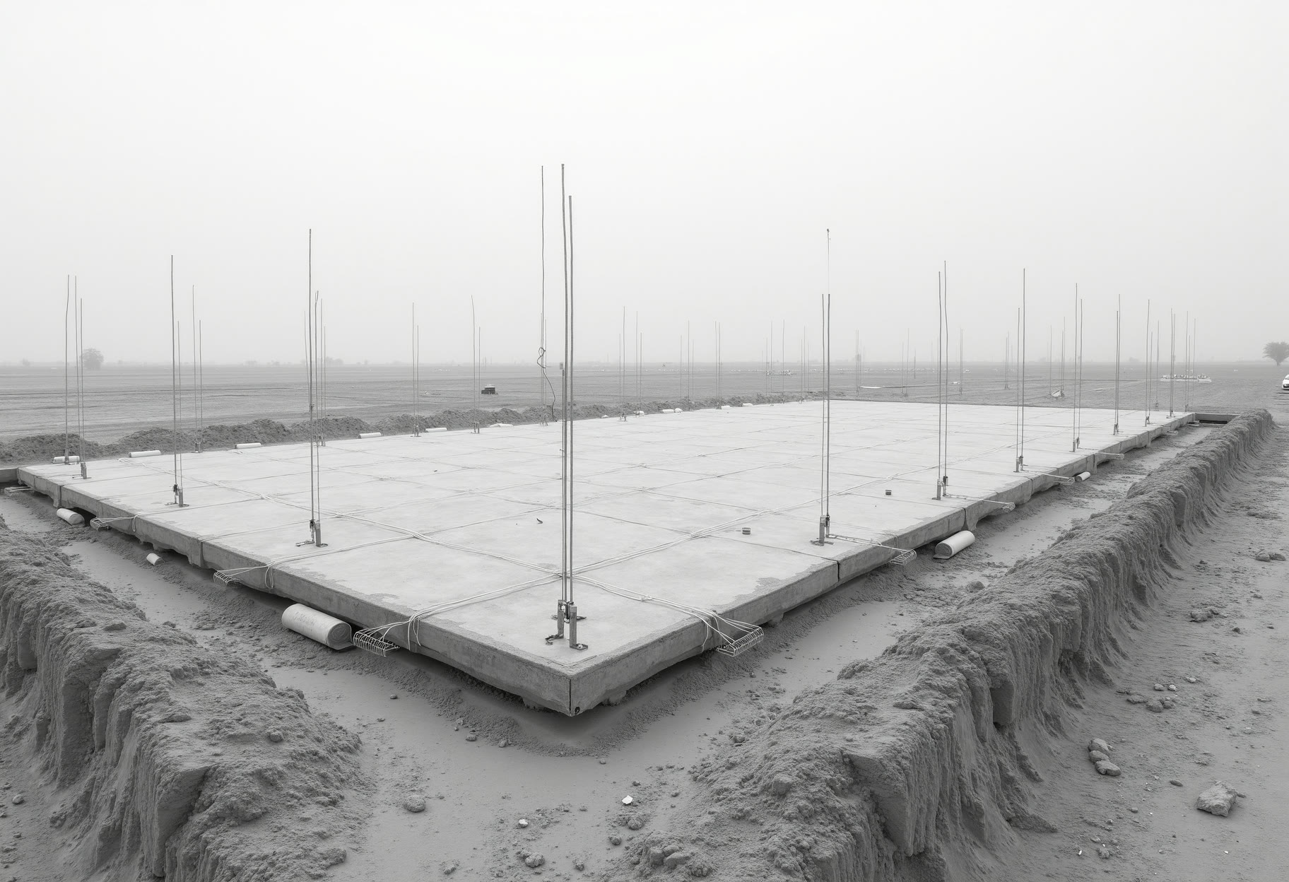
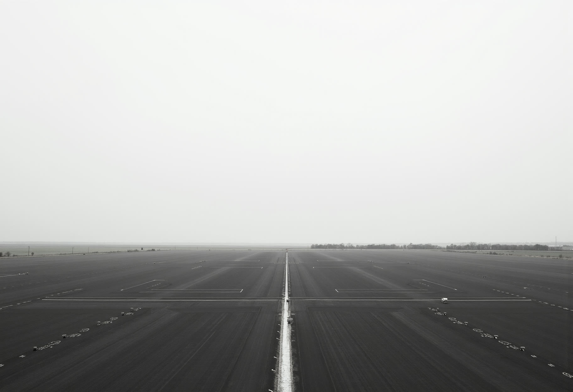
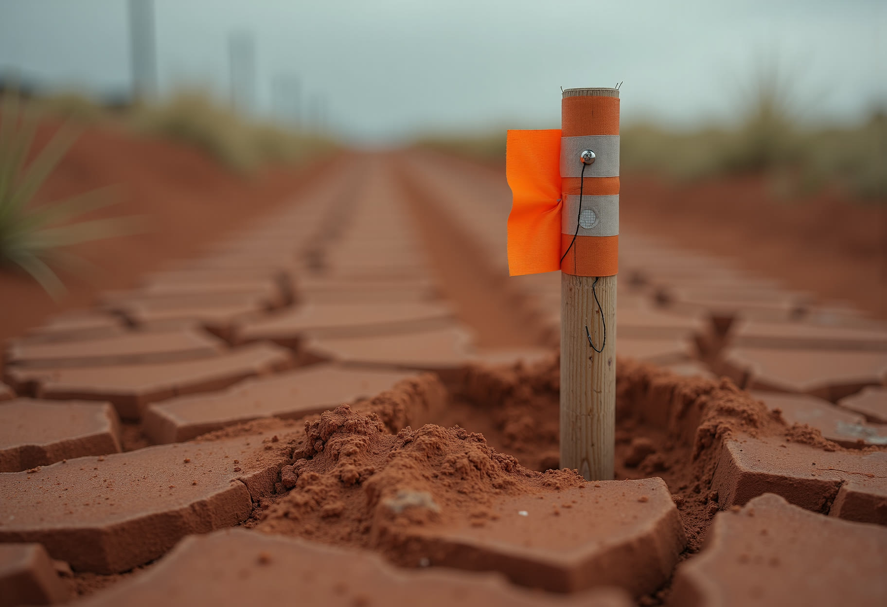
Owen Kerrigan carried the rod for his father's crew out of Norman the summer he turned sixteen, in 1994. He took over the book in 1998, and TrueBearing has been run out of the same office since — small enough that whoever seals your plat is the one who stood on the corner.
Two field crews, robotic total stations and GPS, and a drafting room that still pulls the courthouse records first. Half the answer to a boundary question is in old deeds and prior plats before anyone sets a tripod. We do that part properly, which is why our lines tend to hold up.
Anyone can shoot points. The work is knowing which monument to believe.
Every plat leaves sealed and ready to file. Title companies, lenders and county planning take it without a phone call.
Deeds, prior plats, county monument records and old field notes get pulled before the crew rolls. It changes the answer more often than you'd think.
A field date and a delivery date, given when we quote it — because your closing or your permit is running on them.
Fence crews, excavators, foundation contractors. Staking that's right the first time is the cheapest thing on the job.
The address or parcel number, and what the survey is for — a closing, a fence, a permit, a lender, a split. That's enough for us to quote it flat and give you a field date.
Most calls we get are somebody stuck — a lender wanting a certificate, a neighbour disputing a fence, a permit desk asking for a topo. Say which one it is and we'll tell you what it takes and what it costs.